
Find out what the latest weather forecast from the SA Weather Service means for your region on 20 April 2026.
The South African Weather Service (Saws) has forecast partly cloudy conditions, with cool to warm temperatures, and isolated to scattered showers and thundershowers in the north-eastern region, but widespread in the south-west.
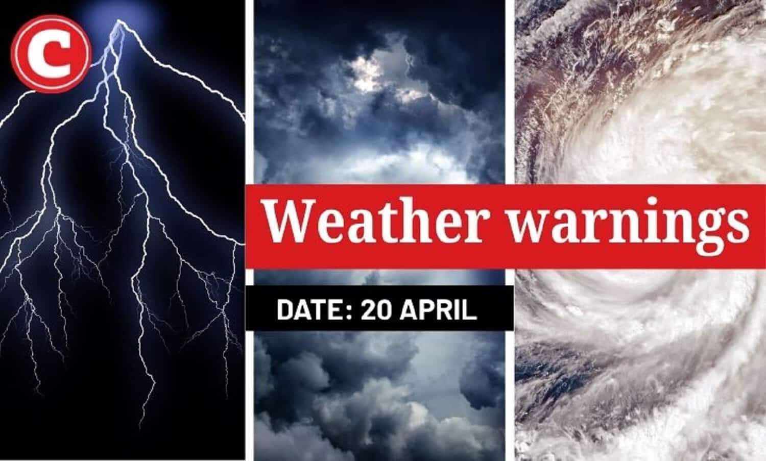
Severe thunderstorms, disruptive rain, storm surge, disruptive winds and waves are expected on Monday.
Here is what you need to know.
Weather warnings for 20 April 2026
Impact-based warnings
The weather service has issued a yellow level 2 warning for severe thunderstorms leading to localised flooding of susceptible roads, low-lying areas and bridges, as well as localised damage to infrastructure and settlements (informal) is expected over Limpopo
Saws has also issued a yellow level 2 warning for damaging wind and waves, leading to short-term disruption of port and small harbour activities, and difficulty in navigation at sea is expected between Alexander Bay and Algoa Bay.
Another yellow level 2 for damaging storm Surge leading to localised damage to coastal infrastructure, and localised flooding of some coastal areas between Plettenberg Bay and Algoa Bay.
Provincial weather forecast
Here’s what to expect in your province on 20 April:
Gauteng:
Residents can expect partly cloudy, warm, but cool weather in the southwest, with scattered showers and thundershowers.
The region’s expected UVB sunburn index is “high”.
Residents should take the necessary precautions against prolonged sun exposure.
Mpumalanga:
Morning fog patches are expected in the Highveld, otherwise partly cloudy and cool to warm with scattered showers and thundershowers
Limpopo:
There will be morning fog patches in the south-west, otherwise partly cloudy and warm weather with scattered showers and thundershowers
North West:
Partly cloudy and cool to warm conditions, with isolated showers and thundershowers, but scattered in the east.
Free State:
Residents can expect a cloudy and cool day, with isolated showers and thundershowers, but scattered in the north-eastern parts
Northern Cape:
It will be fine, partly cloudy, and cool, but cold in the extreme south. The wind along the coast will be moderate north-westerly, becoming moderate south-easterly from the afternoon
Western Cape:
Cloudy to partly cloudy, with cool temperatures over the western interior, but cold in the evening, becoming fine over the eastern parts.
Isolated showers are expected in most places, clearing from the eastern parts from mid-morning.
Possible light snow is expected over the south-western high-lying areas. The wind along the coast will be Moderate to fresh north-westerly to westerly, but strong to near gale force along the south-west and south coasts.
The region’s expected UVB sunburn index is “very high”.
Eastern Cape (western half):
It will be a fine and cool day. The wind along the coast will be fresh to strong westerly
Eastern Cape (eastern half):
Fine and cool weather. The wind along the coast will be Moderate to fresh southwesterly
KwaZulu-Natal:
Partly cloudy and cool to warm, but hot in the north-east. It will become cloudy in the afternoon with isolated showers and thundershowers, but scattered in the extreme north.
The wind along the coast will be moderate to fresh northerly to north-westerly north of Durban at first, otherwise fresh to strong southerly to south-westerly
The region’s expected UVB sunburn index is “moderate”.
Support Local Journalism
Add The Citizen as a Preferred Source on Google and follow us on Google News to see more of our trusted reporting in Google News and Top Stories.
