
Find out what the latest weather forecast from the SA Weather Service means for your region for 28 May 2025.
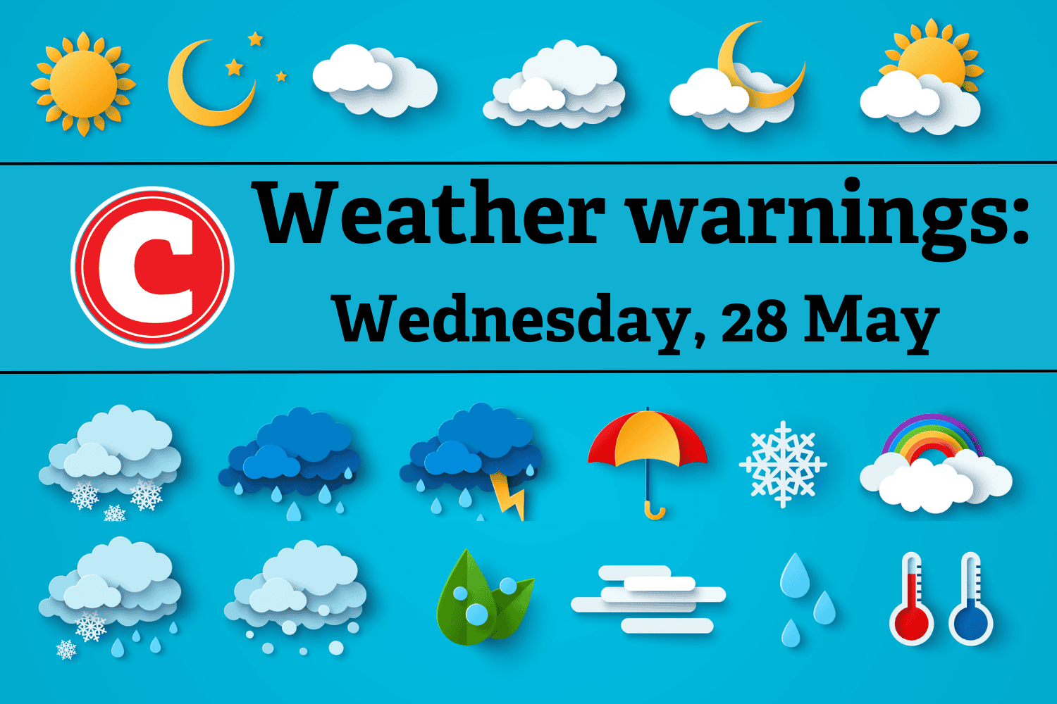
The South African Weather Service (Saws) has released its latest weather forecast for Wednesday, 28 May 2025.
High winds and fire danger warnings in Western and Eastern Cape. Fine and cool weather with morning fog expected in Gauteng, Mpumalanga, and Free State; windy in North West and Northern Cape. Here’s what you need to know.
Weather warnings, Wednesday, 28 May
Impact-based warnings
The weather service issued a yellow level 2 warning for damaging wind leading to difficulty in navigation at sea, which is expected between Saldanha Bay and Cape Agulhas until Thursday.
Damaging wind resulting in localised power and communication interruptions and localised problems for high-sided vehicles on prone routes due to cross winds is also expected in places over the central and eastern interior of the Western Cape and the Dr Beyers Naude local municipality in the Eastern Cape. A yellow level 1 warning was issued.
Fire danger warnings
Extremely high fire danger conditions are expected in places over the Kareeberg local municipality of Northern Cape, Central and Little Karoo districts, and the Hassequa municipality in the Western Cape, as well as Dr Beyers Naude, Blue Crane Route and Inxuba Yethemba local municipalities in the Eastern Cape.
ALSO READ: Fine and cool conditions in most provinces
Provincial weather forecast
Here’s what to expect in your province on Wednesday, 28 May:
Gauteng:
Residents of Gauteng can expect frost in places in the morning; otherwise, the weather will be fine and cool.
Mpumalanga:
Mpumalanga residents can expect cloudy conditions with morning fog in places in the Highveld; otherwise, it will be fine and cool, but warm in the Lowveld.
Limpopo:
The day will start with morning fog patches in the central parts; otherwise, it will be fine and cool to warm but partly cloudy in the north and east with light rain and drizzle in the northeast in the morning.
North West:
Fine and cool weather awaits North West residents, with windy conditions in the extreme west.
Free State:
Residents of the Free State will experience morning fog in the east; otherwise, it will be fine and cold to cool. It will be windy in the extreme west.
Northern Cape:
The day will be cloudy along the coast with morning fog patches; otherwise, it will be fine and cool to warm. It will be windy in places in the central and southern parts.
Western Cape:
Western Cape residents can expect mostly cloudy and cool conditions over the south-western parts; otherwise, it will be fine and warm. Isolated showers and rain are expected over the extreme southwestern parts from the evening.
Eastern Cape (western half):
It will start with morning fog in places in the south; otherwise, it will be fine and warm but cool in the extreme north. It will be windy in places over the interior.
Eastern Cape (eastern half):
The day will be cloudy with morning fog in places in the south; otherwise, it will be fine and cool but warm in places in the south.
KwaZulu-Natal:
Residents of KwaZulu-Natal can look forward to morning fog over the interior and rain along the north coast; otherwise, it will be partly cloudy and cool.
